Kedarnath Trekking Guides

20 Best Treks in Uttarakhand,

August 19, 2021
Blog

Uttarakhand is most popular destination for Trekking, Hiking, Mountaineering, Tourism and Traveling and There are so many places to visiting. There are many best Treks in Uttarakhand – Winter Treks, Summer Treks and also there are many monsoon treks which attract many peoples to come in Uttarakhand. Uttarakhand also Most famous for Char Dham Yatra Kedarnath, Badrinath, Yamunotri and Gangotri and many people come here for exploring the beauty of himalayas and finding Peace in the Himalayas.

Uttarakhand is considered one of the best trekking destinations in India for several reasons:

  1. Himalayan Range: Uttarakhand is home to some of the highest peaks of the Himalayan range, which offers spectacular views of the snow-capped mountains and stunning landscapes.
  2. Accessibility: Uttarakhand is well-connected to major cities in India, making it easily accessible. The state has several base camps from where you can start your trek, and there are several trekking routes to choose from.
  3. Diversity: Uttarakhand offers a diverse range of treks for all types of trekkers, from beginners to experienced trekkers. The state has treks that range from easy to challenging, providing trekkers with a variety of options to choose from.
  4. Cultural experience: Uttarakhand is home to several ancient temples, shrines, and holy places, which adds a cultural element to the trekking experience. Trekkers can learn about the local culture and traditions of the region while exploring the scenic beauty of the mountains.
  5. Weather: Uttarakhand’s weather is ideal for trekking. The state experiences a pleasant climate throughout the year, and during the winter months, the snow-capped mountains provide an added charm to the treks.

Overall, Uttarakhand’s stunning landscapes, accessibility, diverse trekking options, cultural experiences, and favorable weather make it one of the best trekking destinations in India.

Here are some 20 Best Treks in Uttarakhand India

1. Dayara Bugyal Trek

Himalayan alpine meadow Dayara bugyal in the Uttarkashi district of Uttarakhand is a popular trekking and camping destination. High altitude pasture lands or bugyal in the local dialect are noteworthy for its green meadows during the spring and snow covered lands during the winters. At an elevation of 3639m, the Dayara bugyal goes through open land and dense forest at different places ending up at the vast expanse of lush green meadow. Some of the flora include deodar and famous red and pink rhododen trees. The green meadows stretch to a spectacular view of the snow-capped Garhwal Himalayas, including the Nanda Devi, Bandarpunch, and Swargarohini ranges, among others. Every inch of the Dayara bugyal trek is worth a thousand photographs, so those looking for a feasible trek with majestic views will find their perfect ecstasy here. 

Other than trekking in the meadows, Dayara bugyal offers village tourism of Barsu village, which is also considered as the base camp for the Dayara bugyal trek.  This trek is a paradise for people seeking to explore the traditional life of the villagers living in the Garhwal range of the Himalayas. Pasture lands during summers and spring get covered with shepherds and grazing cattle while winters offer a great deal of adventurous winter sports like skiing and other snow activities. 

  • Duration: 5 nights 6 days (Dehradun-Dehradun)
  • Altitude:11,181 feet
  • Trek distance: on foot 24km- by taxi 350 km
  • Temperature: Summer Temperature: – Day (5°C to 15°C) Night (2° C to 8° C)
  • Winter Temperature: – Day (-2°C to -5° C) Night (-5°C to -12°C)
  • Best time to visit: All year except for monsoons
  • Trek level: Moderate
  • Trek route day by day: Dehradun, barsu village base camp, barnala tal, bakaria top summit, gui camp,raithal village stay camp, dehradun
  • Weather: Winters are covered with snow whereas summers experience higher temperatures with no snowfall 

Dayara Bugyal

2. Har ki dun trek

Har Ki Dun, a cradle-shaped hanging valley located at a height of 11,675 ft. is one of the oldest and most popular treks in the Garhwal region of the Himalayas. The region is surrounded with green high pasture lands, snow-covered peaks and alpine vegetation. The Har ki dun trail is believed to be the path taken by the pandavas in their ascent to heaven after the great war of Mahabharat , a reason associated with the heavy crowd of trekkers it brings every year.

It is not only a historic site of the Himalayan trek, but also an ideal destination to explore, thanks to its magnificent view of the mountains, forests, grasslands, rivers and streams. The journey begins from the village of sankri also known as small paradise and passes through the four remaining communities of Himalayan villages: Dhatmir, Gangad ,Panwani and osla. In comparison to other treks, the trail is not as sudden and steep. As a result, this hike is suitable for beginners. The breathtaking views and local legendary stories are guaranteed to pique one’s interest in discovering new things.

  • Duration: 6 nights 7 days (Dehradun-Dehradun)
  • Altitude:11,675 feet
  • Trek distance: on foot 64km- by taxi 442 km
  • Temperature: Summer Temperature: – Day (5°C to 15°C) Night (2° C to 8° C)
  • Winter Temperature: – Day (-2°C to -5° C) Night (-5°C to -12°C)
  • Best time to visit: All year except for monsoons
  • Trek level: Moderate
  • Trek route day by day: Dehradun, sankri village base camp, taluka, cheludgad camp, bhasla camp , dehradun
  • Weather: Winters are covered with snow whereas summers experience higher temperatures with no snowfall

Harkidun - Ruinsara tal Trek

3. Kedarkantha Trek

Kedarkantha trek is considered one of the best treks in Uttarakhand for several reasons:

  1. Scenic Beauty: The Kedarkantha trek offers stunning views of the snow-capped Himalayan peaks and the surrounding valleys. The trail takes you through dense pine forests, quaint Himalayan villages, and vast meadows covered in snow during winters.
  2. Accessibility: The trek is easily accessible from Dehradun, which is well-connected by road, rail, and air. The base camp for the trek is just a few hours’ drive from Dehradun.
  3. Suitable for all: The trek is considered moderately challenging and is suitable for both beginners and experienced trekkers. The total distance of the trek is around 20 km, and it takes four to five days to complete the trek.
  4. Cultural experience: The trek provides an opportunity to experience the local culture and lifestyle of the Himalayan people. The trail passes through several villages and hamlets, where you can interact with the locals and learn about their way of life.
  5. Weather: The best time to do the Kedarkantha trek is from December to April when the snow covers the trail, making it a winter wonderland. During this time, the temperature ranges from -8°C to 5°C, which makes it an ideal winter trek.

Overall, Kedarkantha trek is a perfect blend of adventure, scenic beauty, and cultural experience, making it one of the best treks in Uttarakhand.

4. Kuari Pass Trek

If you are a beginner who wants to begin exploring the Himalayas, Kuari Pass should be the first stop on your tour. Kuari pass, situated in the Nanda Devi National Park of high Himalayan peaks at an altitude of 1875 metres, is noted for its clear and breathtaking view of Nanda Devi peak, India’s second highest mountain. The trail allows you to not only enjoy the beautiful meadows, forest covered in crimson rhododendron and oak trees but also to witness the breathtaking vistas of the peaks like Chaukhamba, Kamet, Nanda Ghunti, Neelkanth, Rishi pahad and many more. Kuari pass also allows travelers a gateway to famous pilgrim sites like Badrinath and Kedarnath. 

Beautiful views of rivers like the Bhagirathi and the Alaknanda are a sight to behold. The expedition offers explorers a trail through beautiful snow-covered oak trees and an interesting topography that ranges from snow-covered forest to stark white meadows in the winter. The kuari pass trek begins in Dhak and ends in kuari pass. The area’s gushing rivers and silent streams, as well as the religious ancient temples, will undoubtedly leave a mark on your memory.

  • Duration: 5 nights 6 days (Dehradun-Dehradun)
  • Altitude:12,516 feet
  • Trek distance: on foot 33km- by taxi 544 km
  • Summer Temperature: – Day (5°C to 15°C) Night (2° C to 8° C)
  • Winter Temperature: – Day (-2°C to -5° C) Night (-5°C to -12°C)
  • Best time to visit: All year
  • Trek level: Moderate
  • Trek route day by day: Dehradun, Joshimath, Dhak, Gulling, Tail camp, kuari pass
  • Weather: Winters are covered with snow whereas summers experience higher temperatures with little to no snowfall.

kuari pass trek

5. Rupin Pass Trek

Rupin Pass Trek is a captivating valley under Govind Wildlife Sanctuary National park. The trek is a high altitude (4,650 meters – 15250 ft.) trek which starts from Dhaula camp in Uttarakhand concluding at Sangla in Himachal Pradesh crossing Uttarakhand near Kinnaur valley. Every step of the way, you’ll be surprised by the surroundings. From the beginning, when trekkers are presented to the Rupin River, it is a sight to behold; as trekkers ascend, they are introduced to breathtaking sights of the Rupin Pass trek, whether they are panoramic views of the mountains or a lush forest. One of the outstanding aspects of this walk is the three-stage Rupin waterfall, which is located at an elevation of 11,500 feet.

The trip takes you past Sewa’s traditional villages, which are known for their temples, as well as Jhaka’s hanging village. The Rupin Pass Trek shows you the differences between the two states and their cultures by taking you through ever-changing landscapes such as beautiful meadows studded with wildflowers, deep jungles, waterfalls, and an adrenaline-pass cross.

  • Duration: 7 nights 8 days (Dehradun-Sangla Village)
  • Altitude:15,250 feet
  • Trek distance: on foot 62km- by taxi 209 km
  • Summer Temperature: – Day (5°C to 12°C) Night (-2° C to -5° C)
  • Winter Temperature: – Day (-2°C to -5° C) Night (-5°C to -12°C)
  • Best time to visit: May, June, September, October
  • Trek level: Moderate
  • Trek route day by day: Dehradun, Dhaula Camp, Sewa Village, Udanknal camp, Dhandaras camp, upper waterfall camp, rupin pass
  • Weather: Winters are covered with snow whereas summers experience higher temperatures with little to no snowfall.

Rupin Pass Trek View

6. Brahmatal Trek

At a height of 12,250 feet, the Brahmatal Trek is a magnificent trip located in the Chamoli district of Uttarakhand’s Garhwal Himalayas. The Bekaltal and Brahmatal glacial lakes, tucked in the depths of Uttarakhand’s Himalayas, are visible from the Brahmatal climb. The trek begins at Lohajung base camp and passes through lovely valleys, streams, and oak trees. Brahmatal is home to some of the most beautiful woodland trails, with a variety of bird species and century-old oak trees. The pink blooms of rhododendrons line the trails of these forests during the springtime. 

The environment changes considerably in the winter, with the region being blanketed in immaculate white snow, providing an unrivalled Himalayan perspective. Mt. Trishul and Nanda Ghunti, Brahmatal offers a panoramic perspective of the Himalayas, with plenty of opportunity to photograph the spectacular snow-covered peaks .When most other trekking routes are blocked in the winter, the Brahmatal trip remains open, making it a model winter trek. The trek is a moderate-level winter trek with many new trekkers on site.

  • Duration: 5 nights 6 days (Dehradun-Sangla Village)
  • Altitude:12,250 feet
  • Trek distance: on foot 24km- by taxi 350 km
  • Summer Temperature: – Day (5°C to 12°C) Night (-2° C to -5° C)
  • Winter Temperature: – Day (-2°C to -5° C) Night (-5°C to -12°C)
  • Best time to visit: All year 
  • Trek level: Moderate
  • Trek route day by day: Dehradun, Lohajung, Bekaltal, Brahmatal summit, Daldum Camp
  • Weather: Winters are covered with snow whereas summers experience higher temperatures with little to no snowfall.

Brahmatal Trek

7. Bali Pass Trek

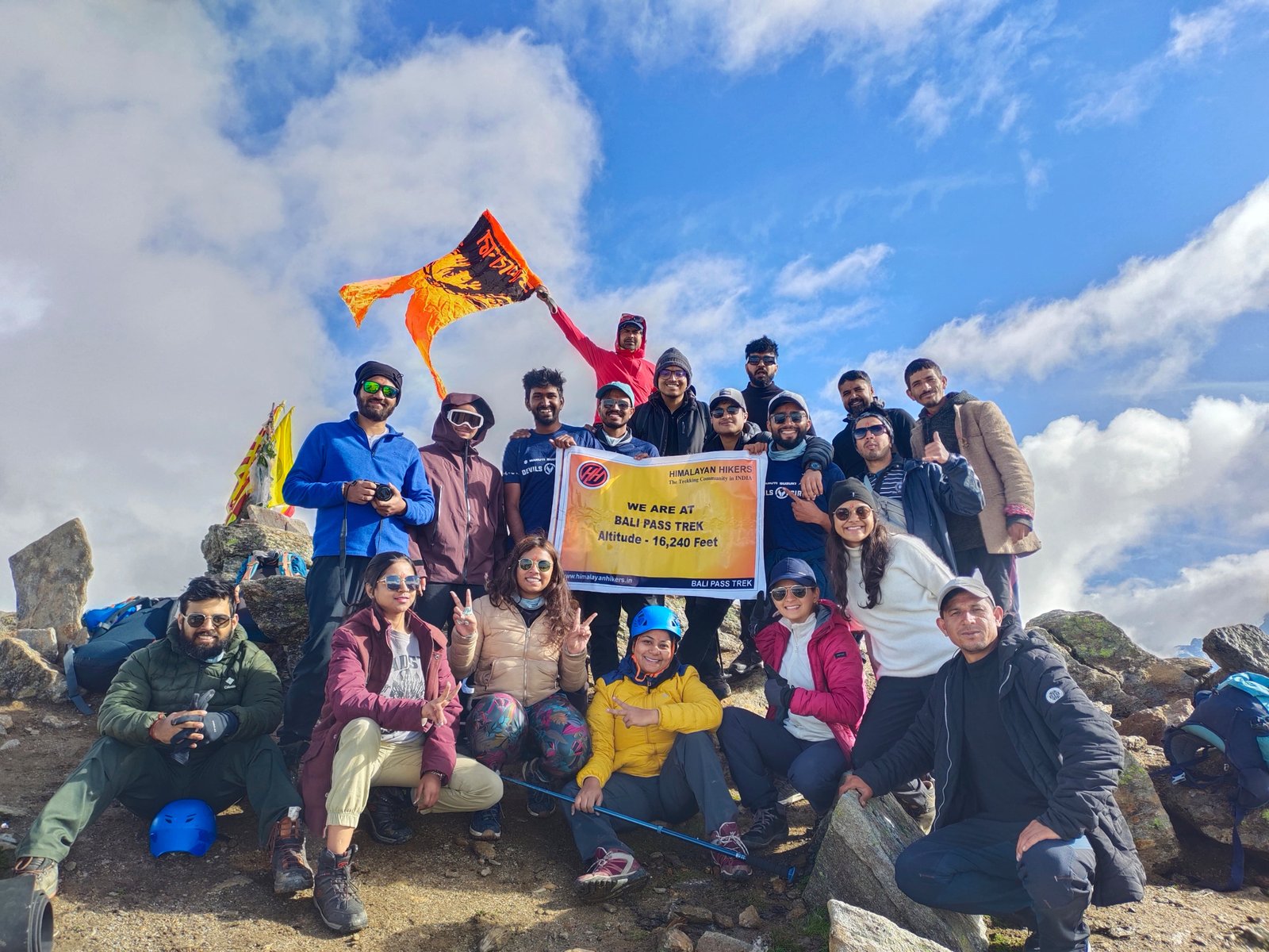
At a height of 16,207 feet, the Bali Pass Trek is part of the Govind Wildlife Sanctuary National Park in Uttarkashi, Uttarakhand. Bali Pass Trek is an epic historic adventure trek that allows you to discover the essence of the famous Chardham mythology. The Bali Pass Trek begins at Sankri Base Camp, which serves as the starting point for over twenty-five treks in Uttarakhand, and ends at Trek Yamunotri Jankichatti. The Yamunotri temple, as well as the lush grasslands, mountain ridges, pine forests, glacial ranges, and jaw-dropping views of the Great Himalayas, are highlights of this trek. The grand sensation of the trek is the alpine meadows of Devsu Thach in the heart of the Ruinsara Forest. A thriving meadow surrounded by tall trees and ranges makes for an enticing camping location.

The trek has associated challenges, but it is ideal for adventure seekers and experienced trekkers. The trail is covered in snow during the pre-monsoon while in the post-monsoon season, it is a drier, rockier approach, hence it is best done during the pre or post monsoon seasons. 

  • Duration: 7 nights 8 days 
  • Altitude:16,207 feet
  • Trek distance: on foot 64km- by taxi 425 km
  • Summer Temperature: – Day (5°C to 12°C) Night (2° C to 5° C)
  • Winter Temperature: – Day (-2°C to -5° C) Night (-5°C to -12°C)
  • Best time to visit: All year 
  • Trek level: Difficult
  • Trek route day by day: Dehradun, Sankri market, Taluka, Cheludgad Camp, Devsu Bugyal, Ruinsara Tal, Odari camp, Bali Pass summit, Upper Damni, Yamunotri Temple
  • Weather: Winters are covered with snow whereas summers experience higher temperatures with little to no snowfall.

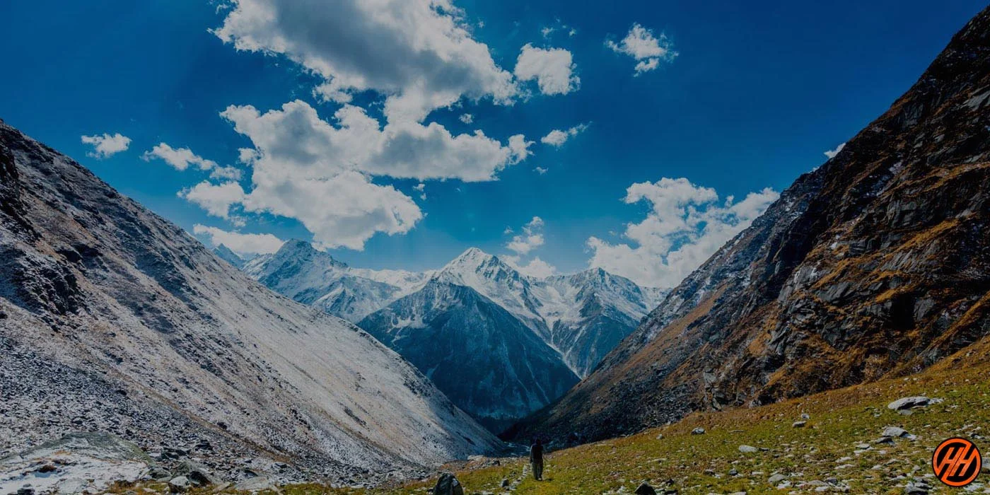
Bali Pass View

8. Tapovan Trek

Tapovan is a tranquil holy place where sages meditate in order to achieve spirituality. Tapovan Trek, as the name suggests, takes you on a spiritual journey of fascinating mythical stories, a local blend, and a visual thrill fest of Himalayan ranges. At a height of 4,500 metres, this trek is located on the bank of the massive Gangotri glacier in the Garhwal region of Uttarkashi district, Uttarakhand, India. The trail begins in Gangotri and travels through the camps of Chirbas and Bhojbasa before arriving in Tapovan.

Gangotri, the starting point of the Tapovan trek, is a sacred site in Hindu mythology and also a part of the well-known Char Dham pilgrimage in Uttarakhand. The Gaumukh destination during the trekker’s journey is the headwaters of the Riven Bhagirati, which travels to meet other rivers before giving birth to the Ganga. Mt. Shivling will accompany you on your journey until you reach Tapovan’s celestial meadow. Several more snow-covered mountain peaks, such as Mount Meru, are among the Tapovan trek’s highlights. This trek is highly recommended for adventure seekers due to its difficult trail and spectacular views.

  • Duration: 7 nights 8 days 
  • Altitude:4500m
  • Trek distance: on foot 46km- by taxi 516 km
  • Summer Temperature: – Day (5°C to 10°C) Night (2° C to 6° C)
  • Winter Temperature: – Day (-2°C to -5° C) Night (-5°C to -12°C)
  • Best time to visit: May, June, September, October 
  • Trek level: Moderate
  • Trek route day by day: Dehradun, Gangotri, Chirbasa Camp, Bhojbasa Camp, Gomukh, Tapovan camp
  • Weather: Winters are covered with snow whereas summers experience higher temperatures

Tapovan treknew

9. Kedartal Trek

At a height of 15,485 feet, Kedartal, one of the world’s most breathtaking glacial lakes, provides a close-up spectacular view of massive peaks such as Manda, Mt Meru, Thalaysagar, and many more. The lake is fed by snowfall from Thalay Sagar, Meru, Bhrigupanth, and other nearby peaks. Fitting perfectly among the barren landscapes of the high Himalayas, it is also considered to be the source of Kedar Ganga, which is considered Lord Shiva’s contribution to Bhagirathi in Hindu mythology. 

The Kedartal trek begins at the pilgrim town of Gangotri and includes a steep rocky climb along the narrow Kedar Ganga. This trek is considered difficult due to the rocky path, high altitude, and steep ascent segments, generally requiring adequate physical and mental preparation. Tricky terrain becomes significantly more difficult as the route advances, hence the Kedartal trek is recommended only for trekkers with prior experience looking for a challenging trail. The preparation and hard trekking are amply rewarded as one completes the journey, leaving an incredible sense of accomplishment. With difficult challenges come euphoric victory and an unrivalled Kedartal view.

  • Duration: 6 nights 7 days 
  • Altitude: 4912 m
  • Trek distance: on foot 36km- by taxi 516 km
  • Summer Temperature: – Day (5°C to 10°C) Night (2° C to 6° C)
  • Winter Temperature: – Day (-2°C to -5° C) Night (-5°C to -12°C)
  • Best time to visit: May, June, September, October 
  • Trek level: Moderate-Difficult
  • Trek route day by day: Dehradun, Gangotri, Bhoj Kharak camp, Kedartal exploration, Thalay sagar camp
  • Weather: Winters are covered with snow whereas summers experience higher temperatures.

kedartal trek

10. Satopanth Tal Trek

Perched amid towering peaks, Satopanth Tal is a sacred lake lying at an elevation of 17,989 ft near Chaukhamba line’s base. Associated with many religious aspects Satopanth tal holds an unwavering significance among locals . Lord Brahma, Vishnu, and Mahesh are said to have bathed in the waters of Satopanth Tal, furthering to meditate at its different edges. Satopanth in the local language means “True Pathway to Heaven”. Devotees believe Satopanth Tal to be sacred and pure, and that a holy dip in Satopanth Tal will wash away their sins.

A large crowd of people visit this location each year due to its religious values. In another local belief, it is said that after the great war of Mahabharata, Pandavas on their way to heaven took a path via Satopanth lake.

The route to Satopanth Lake includes passing through Mana, India’s last hamlet, trekking along the Alaknanda River, and camping in the Lakshmi van forest and Chakratirtha meadow. The trek provides breathtaking views of the enormous snow-capped peaks of Nilkanth, Swargarohini, Narayan Parbat, and Balakun, as well as thrilling views of the Chaukhamba Peaks. Satopanth trek is a Moderate-Difficult level trek which will require prior experience of trekking.

  • Duration: 7 nights 8 days 
  • Altitude: 17987 ft
  • Trek distance: on foot 46km- by taxi 680 km
  • Summer Temperature: – Day (5°C to 15°C) Night (6° C to 12° C)
  • Winter Temperature: – Day (0°C to -2° C) Night (-5°C to -8°C)
  • Best time to visit: May, June, September, October 
  • Trek level: Moderate-Difficult
  • Trek route day by day: Dehradun, Joshimath, Badrinath, Laxmivan, Chakatirth, Satopanth Tal
  • Weather: Winters are covered with snow whereas summers experience higher temperatures.

Satopanth-lake

11. Lamkhaga Pass Trek

The Lamkhaga Pass, located near the Indo-Tibet border, is the most difficult hike in the Garhwal region, rising 5381 metres above sea level. Lamkhaga Pass is regarded as one of the most difficult climbs in the Uttarakhand Himalayas due to its height and remoteness. The hike connects Kinnaur in Himachal Pradesh to Harsil in Garhwal, passing through some inaccessible districts of Himachal and Garhwal with magnificent forests of Pine, Deodar, and Bhojpatra. The lush Deodar forests, the streaming Bhagirathi river, bird chattering, and high towering peaks make this place ideal for nature lovers and trekkers.

Harsil, the starting point of the Lamkhaga Pass, is a lovely town on the banks of the Bhagirathi River. It is a hidden gem in the Himalayas that offers a calm environment and is ideal for those looking for serenity. This modest community has become well-known due to the natural beauty that surrounds it. The walk begins steeply from the start, making it unsuitable for novices, but it is perfect for experienced trekkers and mountaineers. The best time to visit is pre and post monsoon season.

  • Duration: 8 nights 9 days 
  • Altitude: 5381m
  • Trek distance: on foot 74km- by taxi 231 km
  • Summer Temperature: – Day (5°C to 10°C) Night (-2° C to 6° C)
  • Winter Temperature: – Day (0°C to -2° C) Night (-5°C to -8°C)
  • Best time to visit: May, June, September, October 
  • Trek level: Moderate-Difficult
  • Trek route day by day: Dehradun, Harsil, Lal Devta camp, Kyarkoti, Lamkhanga base camp, Lamkhaga Pass
  • Weather: Winters are covered with snow whereas summers experience higher temperatures.

Lamkhaga Pass

12. Roopkund Trek

Roopkund lake is one of the most popular trekking destinations for glacial lakes in the Chamoli district of Garhwal, Uttarakhand, India. At a height of 4800m, the lake is famous for more than five hundred human skeletons found at the edge of the lake. Since their discovery, this lake has piqued the interest of historians and researchers all around the globe. Travelers along the trek will have the opportunity to interact with the guides, natives of the region and hear lots of fun stories about the skeleton topic.

As the trek begins from Lohajung village, the Roopkund trail passes through undulating meadows and deep woodlands densely forested with crimson rhododendrons, pine forests, and oaks. The fascinating alpine meadows of Bedni Bugyal and Ali Bugyal lead you through a picture-perfect view of the peaks like Mt. Trishul, Chaukhamba Range, Kedarnath, Neelkanth and many more.

Trekkers might need acclimatization henceforth, a proper physique and good fitness level is a necessity. This is a moderate to difficult level trek with promising views and a rewarding sense of accomplishment.

  • Duration: 7 nights 8 days 
  • Altitude: 16,156ft.
  • Trek distance: on foot 64km- by taxi 420 km
  • Summer Temperature: – Day (5°C to 15°C) Night (2° C to 8° C)
  • Winter Temperature: – Day (0°C to -2° C) Night (-5°C to -8°C)
  • Best time to visit: May, June, September, October 
  • Trek level: Moderate-Difficult
  • Trek route day by day: Dehradun, Lohajung, Ghairoli Patal, Bedni Bugyal,Patar Nachuni, Bhagwabhasa, Roopkund
  • Weather: Winters are covered with snow whereas summers experience higher temperatures.

Roopkund Trek

13. Borasu Pass Trek

The Borasu pass, at a height of 5,450 metres, is a high mountain pass that connects Uttarakhand and Himachal Pradesh. It was a prehistoric trade route between Har ki Dun valley and Kinnaur valley, which is now an epic journey for trekkers and mountaineers. The trek begins in Taluka and winds its way through the lush green Har ki Dun valley. Har ki Dun is a hanging valley in the Garhwal Himalayas that offers breathtaking views of the mountains, forests, and grasslands. So, the best time to do the trek is May to the last week of October because in the pre-monsoon the trail remains covered in snow, and the climb gets tough.

The journey begins in Sankri, also known as Small Paradise, a village that serves as the starting point for over twenty-five treks in Uttarakhand. With its wooden houses and traditional way of life, the Sankri settlement on the outskirts of the Himalayas has a distinct appeal. Another highlight of this trek is the cradle-shaped hanging Har ki Dun valley, which features green high pasture lands, snow-covered peaks, and alpine vegetation. Some of the principal features of this trek include spectacular views of the lofty Swargarohini Peaks and Bandarpunch, as well as the glorious sunrise and sunset.

  • Key points- Borasu Pass Trek
  • Duration: 7 nights 8 days 
  • Altitude: 5450m.
  • Trek distance: on foot 67km- by taxi 221 km
  • Summer Temperature: – Day (5°C to 12°C) Night (-2° C to 5° C)
  • Winter Temperature: – Day (0°C to -2° C) Night (-5°C to -8°C)
  • Best time to visit: May, June, September, October 
  • Trek level: Moderate-Difficult
  • Trek route day by day: Dehradun, Lohajung, Ghairoli Patal, Bedni Bugyal,Patar Nachuni, Bhagwabhasa, Roopkund
  • Weather: Winters are covered with snow whereas summers experience higher temperatures.

Borasu Pass Camping

14. Chopta Chandrashila Trek

Chandrashila, the summit above Tungnath temple of Panch Kedar, literally means “Moon Rock” and is located at a height of approximately (12,110 ft) above sea level. The majestic Chandrashila summit provides a heavenly panorama of the Great Himalayas, including Nandadevi, Trisul, Kedar Peak, Bandarpunch, and Chaukhamba peaks.

The Chandrashila treks are among the most popular among Indian trekkers. The trek to the peak is 5 kilometres long, beginning in Chopta and ending in Tungnath, after which it is a kilometre long, steep trek to the Chandrashila summit. This moderate to difficult level trek is popular among devotees and is rich in flora and fauna. From the state’s official bird to crimson rhododendrons, glacial lakes and breathtaking views of the snow-capped peaks of the Himalayas, the trek surprises at every turn.A number of legends surround this location. According to one legend, after defeating the demon-king Ravana, Lord Rama meditated here. The location of Lord Rama’s meditation is just a short distance from Tungnath temple. Throughout the journey, the local legends and stories will keep you entertained. 

  • Duration: 5 nights 6 days 
  • Altitude: 12,110ft..
  • Trek distance: on foot 27km- by taxi 432 km
  • Temperature: Summer Temperature: – Day (5°C to 17°C) Night (2° C to 10° C)
  •  Winter Temperature: – Day (1°C to -5° C) Night (-5°C to -12°C)
  • Best time to visit: All year but pre winters are recommended
  • Trek level: Moderate
  • Trek route day by day: Haridwar, Sari Village, Deoriatal, Syahmi Camp, Baniya Kund, Tungnath Chandrashila summit
  • Weather: Winters are covered with snow whereas summers experience higher temperatures.

Chopta

15. Pangarchulla peak Trek

Pangarchulla peak at 14700 of the Garhwal Himalayas in Uttarakhand, India is a moderate to difficult level trek. This summit is visually pleasant with a panoramic view of the snow-capped peaks such as Mana, Mandir, Ghodi, Hathi, Barmal, Lampak Massif, Dronagiri, Nanda-Devi, and Bertholi. The trek begins and ends in Dhak village, a few kilometres from the base camp “Joshimath market.” Pangarchulla peak is great in the summer and exciting in the winter, and it is a pleasure for Himalayan adventure lovers. The path to Pangarchulla Peak winds through a variety of terrains, from lush green meadows to dense jungle, snow-covered landscapes to towering mountains, there is something for everyone.

A difficult but rewarding feature of this trek is the ascent up a steep hillside to the peak. The trail leads the traveller through a path of crimson rhododendrons, a dense forest of oak and bhojpatra, before escalating in difficulty as the snow-covered trail begins. Acclimatization is required due to the steep terrain and low temperatures, so physical fitness is essential. This moderate-to-difficult trek adds to the unforgettable experience of exploring the unknown.

  • Key points- Pangarchulla Peak Trek
  • Duration: 6 nights 7 days 
  • Altitude: 15,096ft.
  • Trek distance: on foot 41km- by taxi 625 km
  • Temperature: Summer Temperature: – Day (5°C to 15°C) Night (2° C to 8° C)
  • Winter Temperature: – Day (-2°C to -5° C) Night (-5°C to -12°C)
  • Best time to visit: All year but pre winters are recommended
  • Trek level: Moderate
  • Trek route day by day: Dehradun, Joshimath, Dhak, Gulling top, Jangal camp, Kuari Pass, Pangarchulla peak summit
  • Weather: Winters are covered with snow whereas summers experience higher temperatures.

Pangarchulla Peak Trek

16. Valley of Flowers Trek

The Valley of Flowers National Park is an Indian national park located at 3352 to 3658 meters above sea level located in North Chamoli and Pithoragarh, in the state of Uttarakhand. Known for its meadows of prevalent alpine flowers and the variety of flora. This richly diverse area is also home to rare and endangered animals and birds, including the Asiatic black bear, snow leopard, musk deer, Himalayan monal and other high altitude birds.The trek starts and ends at the Joshimath market covering a variety of terrains, ridges and beautiful views. A further climb up to Govindghat and the highest gurudwara Hemkund Sahib Ji is a sight to gaze at, just behind the Gurudwara there lays a lake, surrounded by towering mountains and their reflections. For about 6 months the lake remains frozen, and if lucky trekkers might get to experience a visual treat of Brahma Kamal on the edges of this lake.

Accompanied by a variety of legends, the most well-known legends date back to the epic of Ramayana, when Lord Hanuman carried the entire mountain of Sanjeevani in order to save Lord Laxman. The best time to visit the valley of flowers is during August when the flora is in its full capacity, but due to the ongoing monsoon season, some slippery routes to raging rivers are common sights. We recommend trekkers to gear themselves with good-quality trekking shoes.

  • Duration: 5 nights 6 days 
  • Altitude: 12,140ft.
  • Trek distance: on foot 33km- by taxi 544 km
  • Summer Temperature: – Day (5°C to 15°C) Night (6° C to 12° C)
  •  Winter Temperature: – Day (-2°C to -5° C) Night (-5°C to -12°C)
  • Best time to visit: mid-July to august
  • Trek level: Moderate
  • Trek route day by day: Dehradun, Joshimath, Govindghat, Ghangaria, valley of flowers, hemkund sahib 
  • Weather: Winters are covered with snow whereas summers experience higher temperatures.

Valley of flowers

17. Pindari Glacial Trek

The Pindari Glacier trek is located in one of Kumaon’s most remote regions, with breathtakingly beautiful and diverse landscapes. At an elevation of 12,300 ft, it provides ideal adventure and thrill to avid trekkers. Its heavenly surroundings and serene serenity are enough to leave anyone speechless. The glacier is approximately 9 Kilometers long and feeds the Pindar River, which meets the Alakananda in the Garhwal district at Kranprayag. The gradient of the Pindari Glacier trek is easy to moderate, making it one of the best-isolated and family-friendly treks in Uttarakhand. It provides breathtaking views of snow-capped Himalayan peaks, and it is a joy to walk through forests of crimson Rhododendrons with vibrant flowers lined up. This region is abundant in flora and fauna, making it ideal for nature enthusiasts. 

The trail to the glacier passes through some quaint villages with strong mythological stories like Saung and Loharkhet, which further crosses the Dhakuri Pass, and continues on to Khati (the last inhabited village on the trail), and finally concludes at Zero Point, Pindar. Despite the fact that the majority of the trail runs along the banks of the Pindari River, the river is mostly hidden until after Khati. 

  • Duration: 6 nights 7 days 
  • Altitude: 12,300ft.
  • Trek distance: on foot 50km
  • Summer Temperature: – Day (5°C to 12°C) Night (5° C to 10° C)
  • Winter Temperature: – Day (-2°C to -5° C) Night (-5°C to -12°C)
  • Best time to visit: May, June, September, October
  • Trek level: Easy to Moderate
  • Trek route day by day: Dehradun, Joshimath, Govindghat, Ghangaria, valley of flowers, hemkund sahib 
  • Weather: Winters are covered with snow whereas summers experience higher temperatures.

Pindari Glacier Trek

18. Panchachuli Base Camp Trek

The Panchachuli Base Camp Trek takes you to the mesmerizing Panchachuli Base Camp Trek located at a height of 4,260 metres in the Eastern Kumaon region of the Uttarakhand Himalayas. Panchachuli Base Camp is famous for the five Panchachuli peaks soaring majestically in the backdrop. Panchachuli II is the highest of the five peaks, rising 6,904 metres above sea level. 

The five peaks of Panchachuli create the unforgettable bands of Him Khand, Yuli River, Devdaar Bhoj Patra forests, and vast meadows. A varied variety of medicinal vegetation is also found here.

It is a moderately difficult trek from Dharchula Base Camp to Panchachuli Base Camp. The trek is approximately 40-45 kilometer’s from Dharchula, Dar Road to Panchachuli Base Camp and then to Panchachuli Glacier. The trail passes through tribal villages including Bongling, Sela, Nagling, as well as dense forests of Deodar and Bhojpatra. The beautiful Panchachuli valleys and snow-capped peaks in the lap of the Himalayas are breathtaking when seen with one’s own eyes. types of vegetation are also found here, which are useful in medicine.

  • Duration: 8 nights 9 days 
  • Altitude: 4260m.
  • Trek distance: on foot 66km-by taxi 580 km
  • Temperature: Summer Temperature: – Day (2°C to -5°C) Night (1° C to -6° C)
  •  Winter Temperature: – Day (-2°C to -8° C) Night (-6°C to -12°C)
  • Best time to visit: May, June, September, October
  • Trek level: Moderate to Difficult
  • Trek route day by day: Kathgodam, 
  • Weather: Winters are covered with snow whereas summers experience higher temperatures.

Beautiful Mountains in Base Camp of Panchachuli Base Camp Trek

19. Bagini Glacier Trek

Bagini Glacier Trek is an unspoiled, adventurous trek which is a stunning natural beauty located near Joshimath, the town of Chamoli district in the Garhwal Himalayas of Uttarakhand. With a height of 4515 metres, it provides views of great Himalayan peaks such as Changbang, Kalanka, and Dunagiri, Hathi, Ghori, Dunagiri (east), Garur and Satminal, which makes it an exciting trek in Uttarakhand.

 The river from Bagini Glacier meets the Dhauli Ganga at Jumma, which later meets the Alaknanda River at Vishnu Prayag, two of Ganga’s main tributaries. The name Ganga is gleaned from the confluence of these two major rivers at Devprayag.

The Bagini Glacier trek is an easy-to-moderate hike that takes you through quaint villages, blooming meadows, and dense forests. The challenging yet achievable summit, as well as the less crowded trail and fascinating vistas, are all great draws for trekkers. The Bagini Glacier trek is a feasible option for adventurous travellers and backpackers looking to explore and learn more about the region’s mountains.

  • Duration: 8 nights 9 days 
  • Altitude: 4515m.
  • Temperature (May to June):(15°C to 20°C)(7°C to -2°C)
  •  Temperature (Sep to Oct):(10°C to 15°C)(5°C to -5°C
  • Best time to visit: May, June, September, October
  • Trek level: Moderate 
  • Trek route day by day: Dehradun, Joshimath, Jumma, Ruin village, Dronagiri village, Longatulli, Basecamp, Bagini Glacier
  • Weather: Winters are covered with snow whereas summers experience higher temperatures.

Amazing view

20. Nanda Devi Base Camp Trek

Nanda Devi is India’s second highest mountain, after Kangchenjunga, and the only one that is entirely within the country. It is situated in Uttarakhand’s Chamoli Garhwal district, between the Rishiganga and Goriganga valleys to the west and east, respectively. The peak, whose name translates as “Bliss-Giving Goddess,” is considered the patron goddess of the Garhwal and Kumaon Himalayas. Nanda Devi is a two-peaked highland with a long, high ridge that runs east-west. The western summit is higher, while the eastern summit, known as Nanda Devi East, is lower. The peaks known collectively as the heights of the goddesses Nanda and Sunand appear together in ancient Hindu literature and are worshipped as twins in Kumaon, Garhwal, and elsewhere in India.

Nanda Devi East Base Camp is the closest a trekker can get to admire the beauty of the Nanda Devi and Nanda Devi East peaks. It is a tough trek ranging from easy parts at the beginning of Munsiyari village which escalates to harsher terrain in later stages, hence an adequate preparation is a must. Considering its tricky terrain and high altitudes, only experienced trekkers are suggested for this trek.

  • Duration: 12 nights 13 days 
  • Altitude: 4150m.
  • Trek distance: 112km by foot- 554km by taxi
  • Temperature: (2°C to -10°C)
  • Best time to visit: May, June, September, October
  • Trek level: Moderate 
  • Trek route day by day: Dehradun, Joshimath, Jumma, Ruin village, Dronagiri village, Longatulli, Basecamp, Bagini Glacier
  • Weather: Nights are cold and the day temperature is pleasant during the season. It is unpredictable and can change anytime so the schedule might differ.

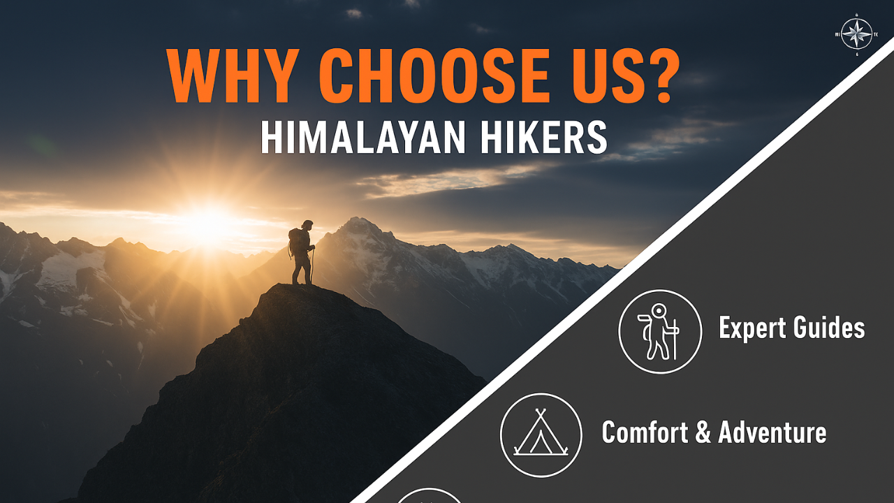
There are several reasons why you may choose to do your treks with Himalayan Hikers Trekking Organization in Uttarakhand:

  1. Experienced team: Himalayan Hikers has a team of experienced and certified trekking guides who have extensive knowledge of the trekking routes in Uttarakhand. They are well-trained in handling emergencies and ensuring the safety of trekkers.
  2. Wide range of treks: Himalayan Hikers offers a wide range of treks in Uttarakhand, ranging from easy to challenging. They have treks that cater to all types of trekkers, from beginners to experienced trekkers.
  3. Customizable itineraries: Himalayan Hikers offers customizable itineraries, which means you can choose the trek that suits your requirements and schedule. They can also tailor the trek to include additional activities such as sightseeing or camping.
  4. Quality equipment: Himalayan Hikers provides high-quality trekking equipment, including tents, sleeping bags, and trekking poles, ensuring that you have a comfortable and safe trekking experience.
  5. Responsible trekking: Himalayan Hikers follows responsible trekking practices, including eco-friendly and sustainable practices, and supporting the local communities. They ensure that the treks are conducted in an environmentally responsible manner, leaving a minimal footprint on the environment.

Overall, Himalayan Hikers Trekking Organization in Uttarakhand offers a safe, comfortable, and responsible trekking experience with a wide range of treks and customizable itineraries, making it an excellent choice for your next trekking adventure in Uttarakhand.

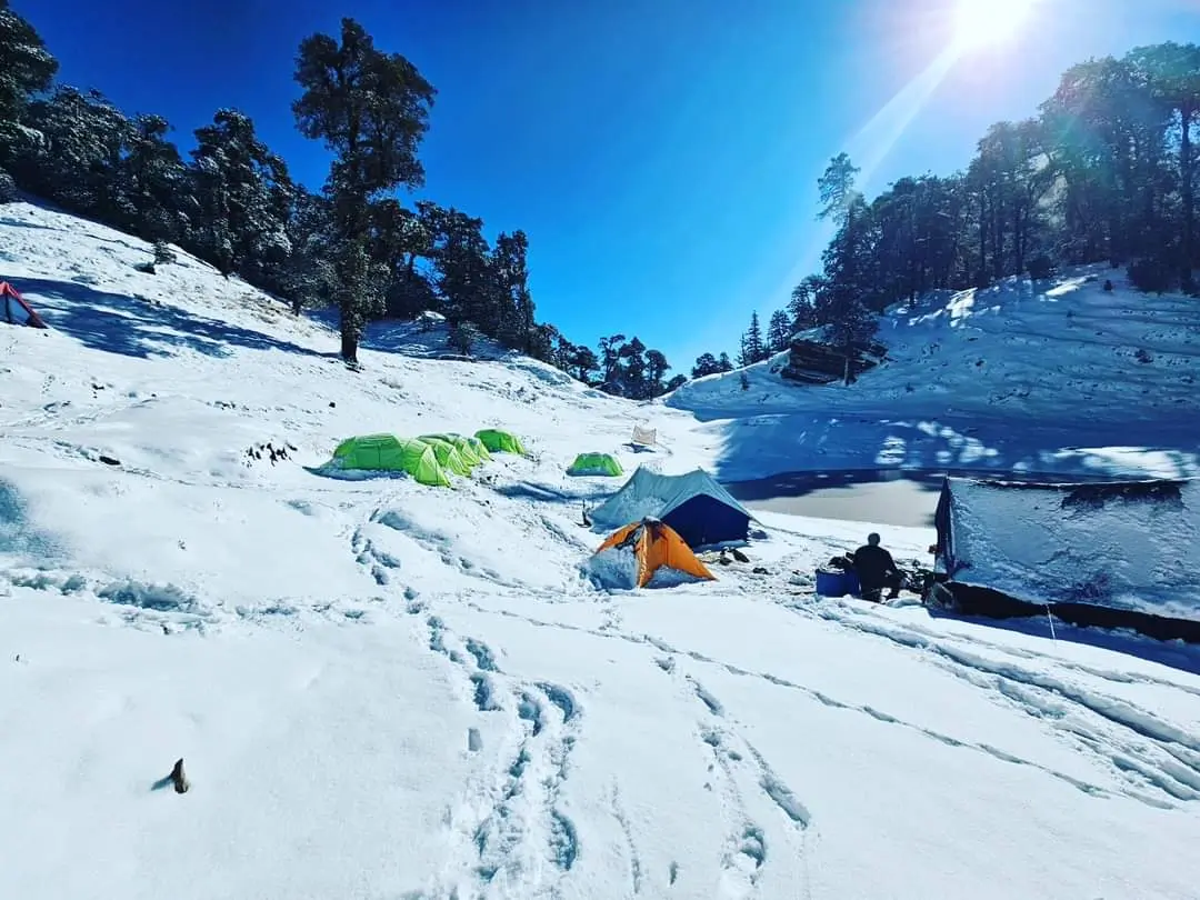
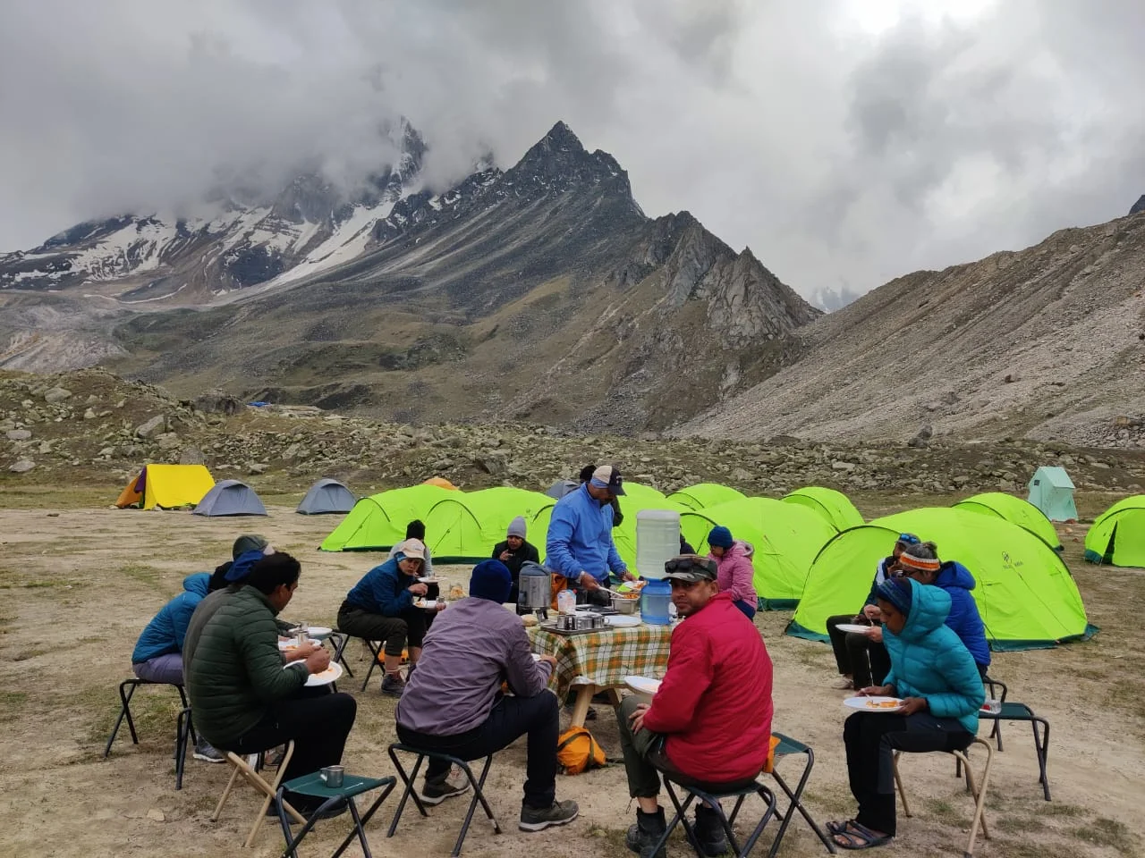
Beautiful Campsite

One thought on “20 Best Treks in Uttarakhand,

    Leave a Reply

    Your email address will not be published. Required fields are marked *

    ×